Collapse an mts_monitor object into a single time series
Source:R/monitor_collapse.R
monitor_collapse.RdCollapses data from all time series in a mts_monitor into a
single-time series mts_monitor object using the function provided in the
FUN argument. The single-time series result will be located at the mean
longitude and latitude unless longitude and latitude
parameters are specified.
Any columns of monitor$meta that are constant across all records will
be retained in the returned mts_monitor meta dataframe.
The core metadata associated with this location (e.g.
countryCode, stateCode, timezone, ...) will be determined from
the most common (or average) value found in monitor$meta. This will be
a reasonable assumption for the vast majority of intended use cases where
data from multiple instruments in close proximity are averaged together.
monitor_collapse(
  monitor,
  longitude = NULL,
  latitude = NULL,
  deviceID = "generatedID",
  FUN = mean,
  na.rm = TRUE,
  ...
)
Arguments
- monitor
mts_monitor object.
- longitude
Longitude of the collapsed time series.
- latitude
Latitude of the collapsed time series.
- deviceID
Device identifier for the collapsed time series.
- FUN
Function used to collapse multiple time series.
- na.rm
Logical specifying whether NA values should be ignored when FUN is applied.
- ...
additional arguments to be passed on to the
apply()function.
Value
A mts_monitor object representing a single time series. (A list with
meta and data dataframes.)
Note
After FUN is applied, values of +/-Inf and NaN are
converted to NA. This is a convenience for the common case where
FUN = min/max or FUN = mean and some of the time steps have all
missing values. See the R documentation for min for an explanation.
Examples
library(AirMonitor)

# Lane County, Oregon AQSIDs all begin with "41039"
LaneCounty <-
  NW_Megafires %>%
  monitor_filter(stringr::str_detect(AQSID, '^41039')) %>%
  monitor_filterDate(20150821, 20150828)

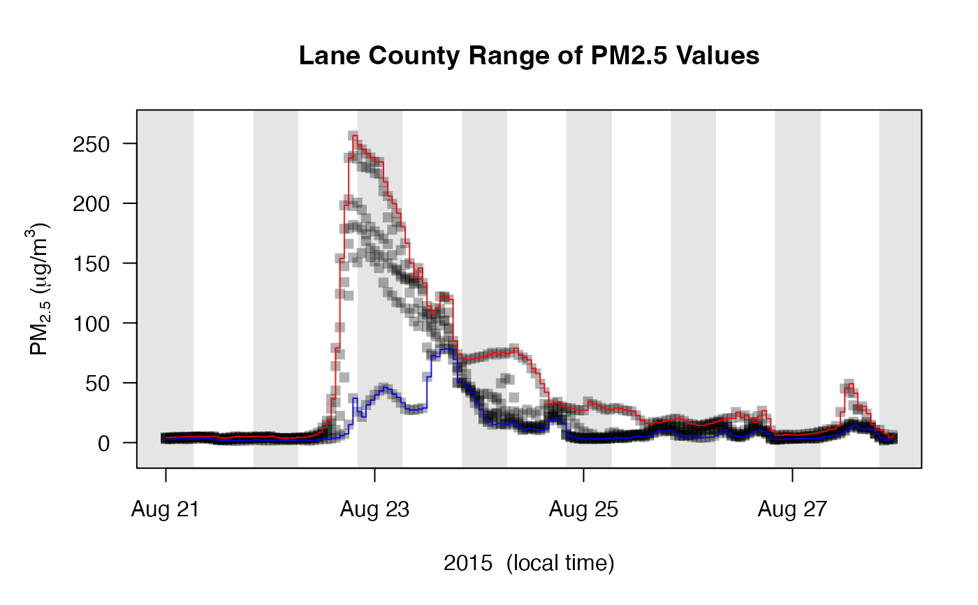
# Get min/max for all monitors
LaneCounty_min <- monitor_collapse(LaneCounty, deviceID = 'LaneCounty_min', FUN = min)
LaneCounty_max <- monitor_collapse(LaneCounty, deviceID = 'LaneCounty_max', FUN = max)

# Create plot
monitor_timeseriesPlot(
  LaneCounty,
  shadedNight = TRUE,
  main = "Lane County Range of PM2.5 Values"
)

# Add min/max lines
monitor_timeseriesPlot(LaneCounty_max, col = 'red', type = 's', add = TRUE)
monitor_timeseriesPlot(LaneCounty_min, col = 'blue', type = 's', add = TRUE)
