Create a SpatialPointsDataFrame of GOES data
goesaodc_createSpatialPoints.RdCreate a SpatialPointsDataFrame of GOES data including data within the specified bounding box and data quality flag level.
The dqfLevel parameter can take a value of:
0 -- High quality retrieval flag
1 -- Medium quality retrieval flag
2 -- Low quality retrieval flag
3 -- No retrieval quality flag
The bbox parameter can be a vector of floats in c(lonLo, lonHi, latLo,
latHi) order or the return value from sp::bbox() or
raster::extent().
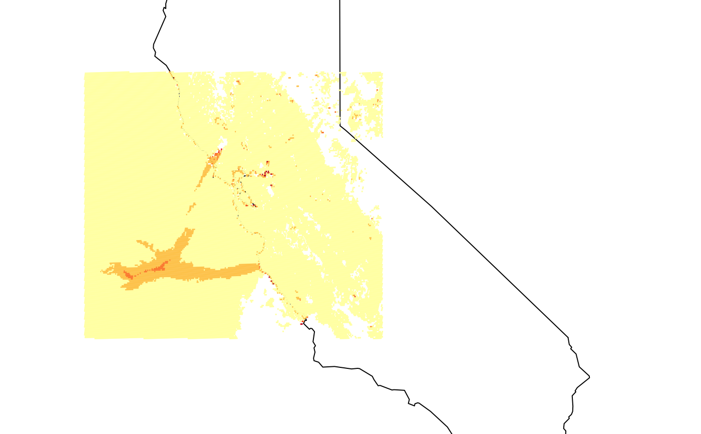
goesaodc_createSpatialPoints(
  nc = NULL,
  bbox = c(-125, -65, 24, 50),
  dqfLevel = NULL
)
Arguments
| nc | ncdf4 handle. |
|---|---|
| bbox | Bounding box for the region of interest. |
| dqfLevel | Data quality flag level. |
Value
SpatialPointsDataFrame
Examples
# \donttest{ library(MazamaSatelliteUtils) setSatelliteDataDir("~/Data/Satellite") netCDF <- goesaodc_downloadAOD( satID = "G17", datetime = "2019-10-27 10", timezone = "America/Los_Angeles")[1] kincade_bbox <- c(-126, -119, 35, 40) nc <- goesaodc_openFile(netCDF) sp <- goesaodc_createSpatialPoints(nc, dqfLevel = 3, bbox = kincade_bbox) maps::map(database = "state", "regions" = c("california"), xlim = c(-126, -113.5))# }